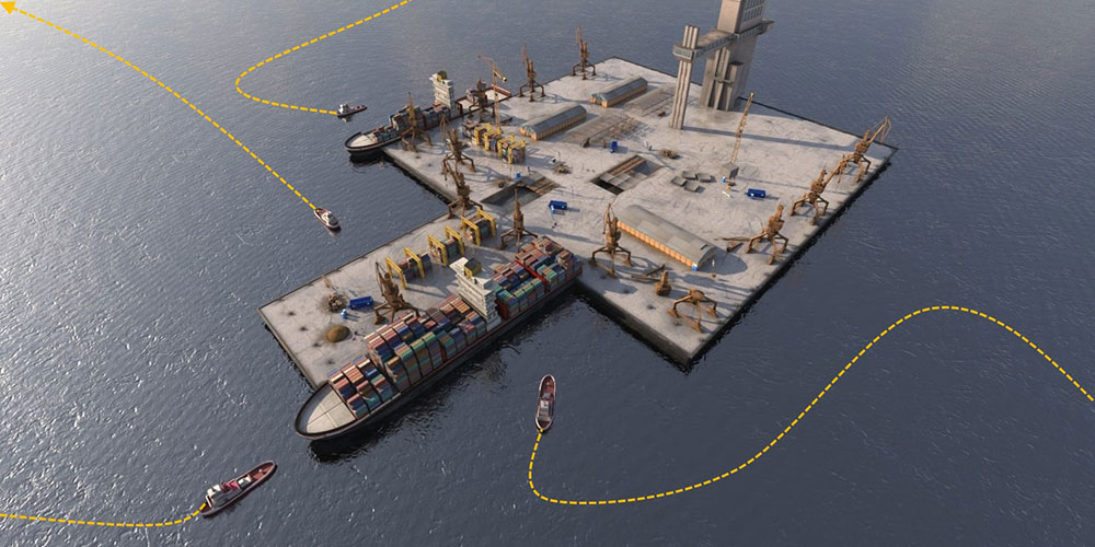
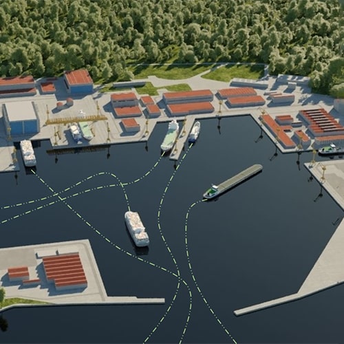
Maritime transports play a critical role in international trade and commerce. Massive vessels
sailing around the world continuously generate vessel trajectory data that contain rich
spatial–temporal patterns of vessel navigations. Analyzing and understanding these patterns are
valuable for maritime traffic surveillance and management. As essential techniques in complex data
analysis and understanding, visualization and visual analysis have been widely used in vessel
trajectory data analysis.
We develop state-of-the-art algorithms and tools for in-depth analysis and visualization of vessels trajectories. Having satellite AIS data, we provide high performance frameworks for investigating the vessels' movements. The developed algorithms are useful for estimating the arrival time of the vessels to the port and also the optimality analysis of the bunkering operations at the anchorage areas.


