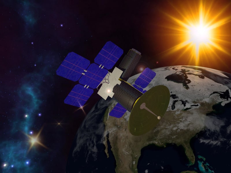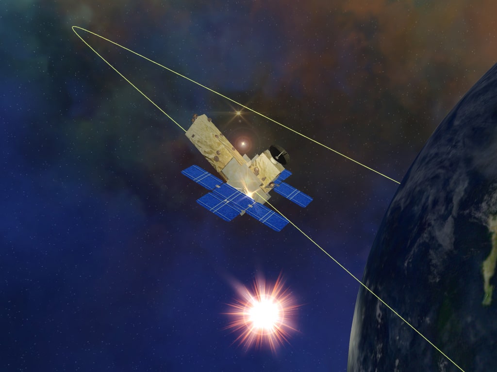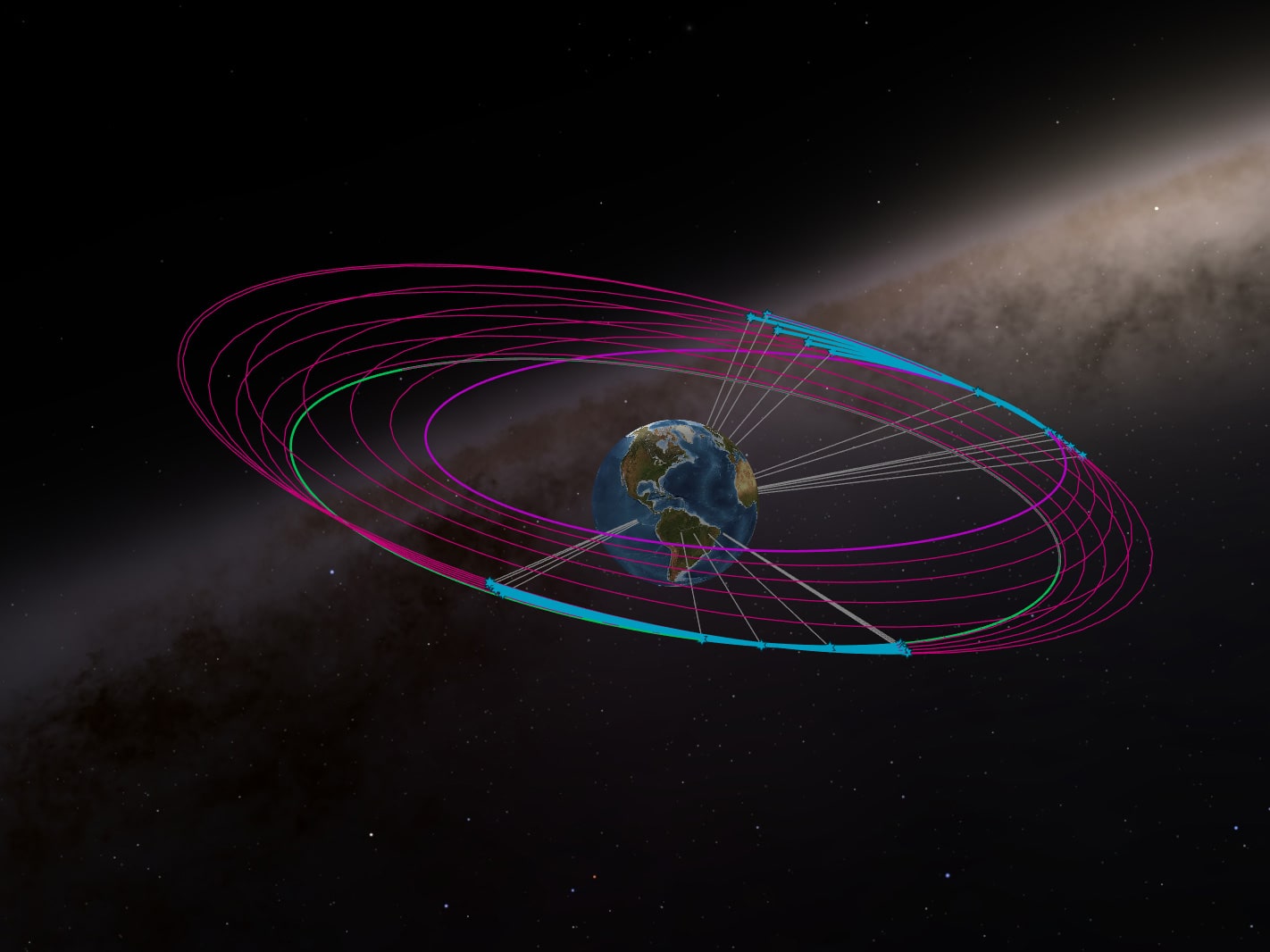
To date, there exist thousands of operational satellites alongside hundreds of thousands of dormant and debris objects orbiting the Earth. Each satellite follows a unique orbit trajectory defined by its shape, size, and purpose. Given the diversity and sheer number of satellites, it is impractical for analysts to manually monitor them all simultaneously. However, machine learning methodologies offer a solution for automating satellite characterization to enhance space situational awareness (SSA). Satellite data is analyzed using various machine learning techniques, including supervised classification, unsupervised clustering, and supervised neural networks. Supervised models play a crucial role in assessing satellite stability, a vital aspect of satellite characterization. Likewise, unsupervised methods facilitate the identification of satellite characteristics based on geographical location and the detection of abnormal behavior and maneuvers. Additionally, deep learning, employing recurrent neural networks (RNNs), enables the prediction of sequential satellite maneuvers over time. Collectively, these findings from satellite modeling hold significance in bolstering surveillance and security measures in space.
Machine Learning and Satellite Data
The integration of machine learning techniques has facilitated the automation of iterative tasks across diverse domains such as research, finance, and technical fields. The deployment of machine learning algorithms alongside advanced Artificial Intelligence (AI) systems holds the potential to unveil insights from datasets that may otherwise necessitate substantial time investments for discovery. Moreover, the sheer magnitude and rapid influx of data often impede human capacity to process information within the requisite timeframes essential for tactical decision-making processes. This endeavor offers initial findings elucidating the efficacy of machine learning in automating the repetitive task of satellite monitoring for enhancing space situational awareness.
Given the diverse array of satellite attributes, concurrent monitoring of all satellites by analysts for behavioral changes presents a considerable challenge. Orbital analysts often allocate a substantial portion of their workday to scrutinizing algorithm outputs detailing satellite positions and attributes within orbits. While human intervention remains indispensable for certain operations, mundane tasks lend themselves well to machine learning algorithms, particularly when accompanied by timely alerts to operators indicating necessary interventions based on prevailing conditions.
The utilization of machine learning (ML) and AI in the context of SSA is currently in its nascent stage, with emerging studies highlighting its prospective utility. Prior research endeavors have showcased the practical efficacy of ML methodologies in leveraging photometric data for tasks such as satellite bus type identification and stability prediction. Furthermore, recent advancements have emphasized the deployment of neural network architectures for anomaly detection and classification of space objects, leveraging similar photometric properties. Additional analyses concerning the extraction of features from satellite signatures underscore the significance of derived features in facilitating satellite characterization and classification through supervised learning paradigms.

1. Supervised Learning in SSAIn recent years, there has been demonstrable efficacy in employing classification models to discern satellite bus types based on various photometric attributes. Furthermore, the application of a random forest classifier on transformed light curve data has exhibited robust predictive capabilities concerning satellite stability. The rotational behavior of satellites during orbital motion serves as a fundamental determinant of orbit alterations. Given the pivotal role of satellite stability within the domain of SSA, investigations have delved into classification models utilizing simplified extraction methodologies for light curve features.
2. Unsupervised Learning in SSAUnsupervised clustering methodologies are designed to discern inherent patterns within datasets. In the context of SSA applications, the objective revolves around investigating whether spatiotemporal clustering can effectively discern satellite maneuvers. Notably, unexpected transitions of satellites between clusters hold potential for change detection. Clustering strategies enable the grouping of geosynchronous satellites based on the extent of their orbital movement, delineated by distance-dependent functions within clustering models. Consequently, clustering techniques facilitate the comprehensive surveillance of all satellites within the Geostationary Earth Orbit (GEO) belt. Deviations in cluster assignments serve as indicators for detecting anomalous orbital behaviors.
3. Recurrent Neural Networks in SSA Recent advancements underscore the efficacy of Long Short-Term Memory (LSTM), a type of Recurrent Neural Network (RNN), as a proficient tool for orbit anomaly detection. Specifically, the LSTM model has exhibited robust predictive capabilities in capturing the temporal dynamics of anomalous satellite orbits within time-series data. The recurrent connections inherent in RNN architectures, coupled with the LSTM model's capacity to handle long-term dependencies, facilitate nonlinear forecasting. Unlike standard RNNs, which possess cyclic connections known as 'loops' enabling recurrent estimation by utilizing past information to influence present processing, LSTM overcomes the limitation associated with handling extended temporal dependencies. This is achieved through LSTM's ability to process both long-term dependencies and a broad spectrum of inputs, owing to its horizontal and vertical integrative architecture. Consequently, LSTM enables the continuous learning of nonlinear patterns characterizing satellite anomalies over time. Thus, any deviation in prediction accuracy within the LSTM model serves as an indicator of anomalous behavior deviating from the established norms of orbital dynamics.
The robust performance of LSTM models in analyzing time-series data suggests potential applications in modeling satellite behavior over time. Accordingly, an LSTM model was investigated to identify recurrent patterns in a satellite's mean motion as a function of time. Consistent with the anomaly detection methodology, the primary objective is to utilize prediction errors from the model as indicators for identifying satellites engaged in maneuvers.

Applications and Future Works
Numerous research findings suggest the potential efficacy of machine learning methods in automating the monitoring and characterization of satellites. Each method exhibits versatility for application across various satellite features, enhancing satellite assessment. Classification models designed to predict satellite stability offer the capacity to anticipate satellite maneuvers, thereby providing insight into the multifaceted factors influencing such behaviors. Additionally, RNN models, particularly LSTM, hold promise for forecasting orbital patterns based on satellite data attributes such as inclination and ballistic drag coefficient, which are integral to monitoring satellite behavior. RNNs can potentially analyze light curve data to determine satellite rotations. The insights gleaned from forecasting satellite behavioral patterns are crucial for comprehending the variability in satellite behavior over time. Furthermore, the amalgamation of various photometric features derived from the data can yield additional characterization possibilities. Integration of additional orbital features into models can enhance the detection of satellite maneuvers and anomalous behavior, facilitating simultaneous monitoring of satellite movement.
However, a primary limitation of these findings pertains to the preliminary nature of the representative sample datasets. The models were constructed based on either one day of observational data encompassing multiple satellites or one year of a single satellite's Two-Line Element (TLE) data. Future endeavors should aim to develop models using more extensive and coherent datasets to enable real-time satellite characterization. These datasets should span longer durations, incorporate missing data, and consider noise parameters to more accurately represent inputs from ground system pipelines.
The integration of predictive modeling of satellite attributes, geospatial characterization of satellites, and sequential forecasting of orbital patterns holds promise for uncovering complex relationships in satellite data for SSA monitoring. Combining results from different algorithms may unveil stable satellites maneuvering within specific geospatial ranges, with potential for identifying other satellite groupings through similar integrative analyses. Future research employing machine learning methodologies presents abundant opportunities for further satellite characterization. Implementation of automated satellite monitoring systems based on reliable and robust findings can mitigate potential orbital hazards by enabling quick anomaly detection and signaling subtle deviations from established satellite behavioral patterns.
References
-
Using machine learning for advanced anomaly detection and classification
B. Lane, M. Poole, M. Camp, J. Murray-Krezan
Advanced Maui Optical and Space Surveillance Technologies Conference (2016)
-
A Machine Learning Approach to Modeling Satellite Behavior
Rohit Mital, SGT KBRwyle, Kim Cates, Joe Coughlin, Geetha Ganji
IEEE International Conference on Space Mission Challenges for Information Technology (2019)
-
Space object classification using deep neural networks
B. Jia, K. D. Pham, E. Blasch, Z. Wang, D. Shen, G. Chen
IEEE Aerospace Conference (2018)
-
Probabilistic Analysis of Light Curves
T. Kelecy, I. Hussein, K. Miller, J. Coughlin
Journal of the Astronautical Sciences (2018)


